Insights
Written for the people who run road networks: scoring standards explained, capture economics costed, migration paths mapped. No fluff, specific numbers, and the occasional dive into pothole politics.
10ARTICLES · PCI & IRI · CAPTURE ECONOMICS · MINING HAUL ROADS · SOUTH AFRICA
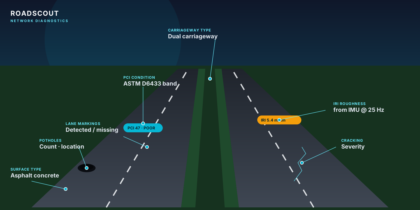
RoadScout Network Diagnostics: a read-only API for the road condition data your systems can actually digest
Read-only REST access to PCI, IRI, condition distribution, deterioration forecasts and geolocated defects, plus GeoJSON, KML, Shapefile and CSV export for your GIS.

How to move from RoadBotics to RoadScout: a technical migration guide
Data export, coordinate alignment, severity mapping, PCI reconciliation and a four-week cutover plan for leaving RoadBotics without breaking your maintenance workflow.

From snorkels to smartphones: why South Africa's R200 billion road crisis needs AI, not just political will
The technology to map every pothole in South Africa costs less than a smartphone and a windshield mount. The R200 billion backlog is a data problem first.
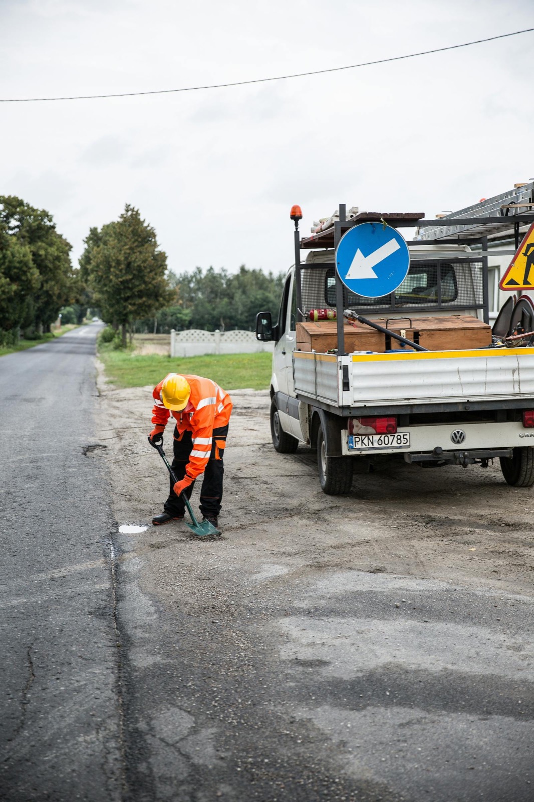
Pothole politics meets AI: turning the South African road crisis into actionable data
Politicians swim in craters and agencies go insolvent. The real problem is not potholes: it is the absence of data to manage them.

How municipal engineers close the maintenance backlog with continuous road data
Why the three-year inspection cycle keeps losing ground, and what a continuous-data operating model looks like in a small, medium and metro-scale municipality.

Mining haul roads: corrugation, tire cost, and the real economics of deferred grading
How IMU-derived corrugation intensity drives tire life, fuel burn and grader utilisation on open-pit haul roads, and why calendar-based grading wastes both.

Smartphone vs specialised survey vehicle: the new economics of road-condition data
A $400 smartphone now captures pavement data at the resolution of a $400,000 survey van for 95% of use cases. Where each still makes sense.

PCI or IRI? Choosing the right pavement-scoring method (and why you probably want both)
PCI tells you what is visibly wrong with a pavement. IRI tells you how it rides. Confusing them is one of the most common planning mistakes in municipal engineering.

How computer vision actually finds potholes (and why bounding-box accuracy matters less than you think)
Inside a production pothole-detection pipeline: frame sampling, clustering, severity, operator review, and the training loop that vendor accuracy numbers hide.
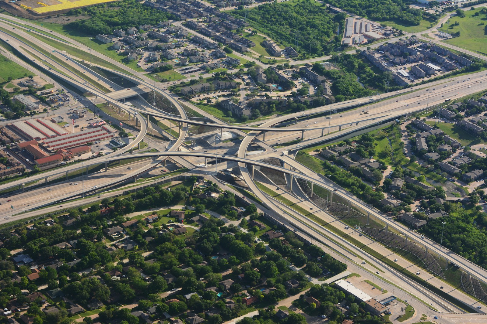
The road-condition evidence stack: telemetry, imagery, AI, audit
A four-layer model for road-condition programs: capture, inference, review, and the audit layer that survives procurement cycles and liability claims.
Enough reading. See your own roads scored.
One phone, one vehicle, one week of normal rounds: a PCI map of everywhere it drove.